categories
logos
calendar
log in
sign up
Categories PNG's
Famous PNG Logos
Events Calendar
Popular PNG's
Newest PNG's
PNG's by Color
AI Background Remover
AI Image Editor
Help / FAQ
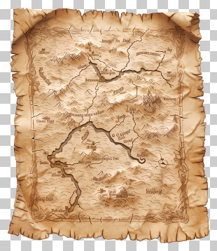
User framanu uploaded the image
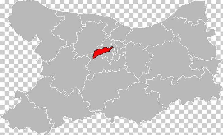
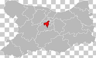
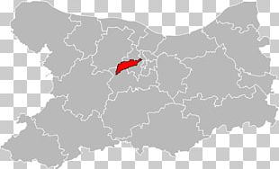
Caen Mondeville Le Tronquay Topographic Map PNG
. The Caen Mondeville Le Tronquay Topographic Map PNG has a transparent background, is 217.38 KB and has a resolution of 1600 x 977 pixels.
Administrative Division
Caen
Calvados
Canton
Cartography
Contour Line
France
Geography
Locator Map
Lower Normandy
Map
Mondeville
Normandy
Svg
Topographic Map
Travel World
Caen Mondeville Le Tronquay Topographic Map PNG
Free Download
(217.38 KB)
1600 x 977
217.38 KB
framanu
Editorial Use
Edit PNG
AI Background Remover
You might also like...
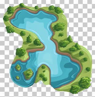
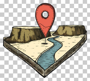
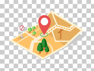
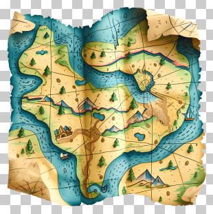
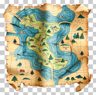
Map
Geography
Navigation
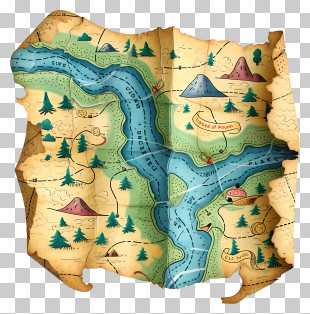
Goopy Le Grande
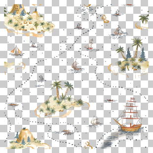
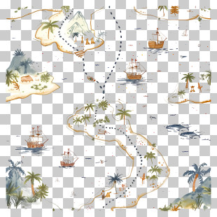
Treasure Map
Cartoon
Cute
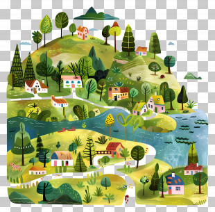
Google Maps Logo
Cartography
Travel
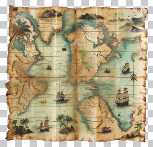
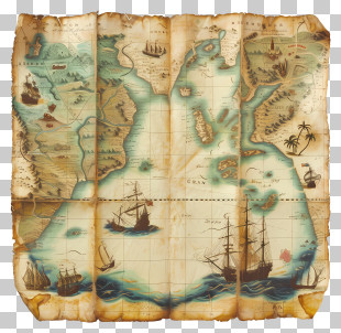
World Map
Antique Map
Google Maps
Location
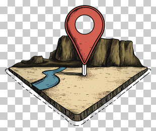
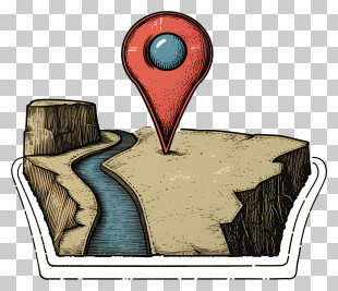
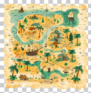
Pirate Map
Travel Planning
Location Pin
Navigation Tool
Blue
Digital Map
Adventure
Map Icon
Adventure Map
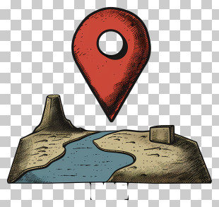
Topographic Map
Terrain