categories
logos
calendar
log in
sign up
Categories PNG's
Famous PNG Logos
Events Calendar
Popular PNG's
Newest PNG's
PNG's by Color
AI Background Remover
AI Image Editor
Help / FAQ
Geographical Map PNG Images
- 1,312 free transparent PNG images matching "Geographical Map"
⮜
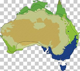
Geographic Map
Geographic Mapping
⮞
First
6
7
8
9
10
Last
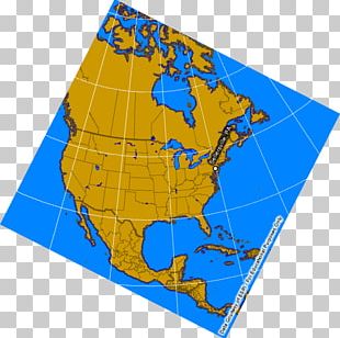
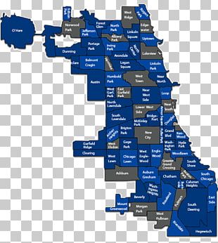
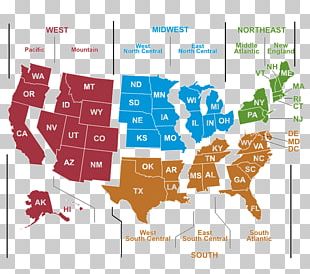
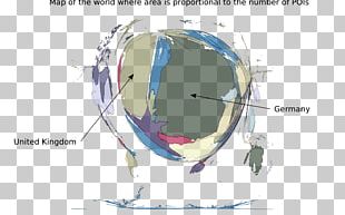
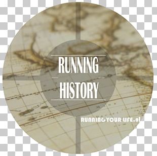
Map
Line
Area
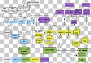
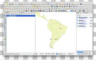
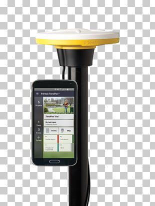
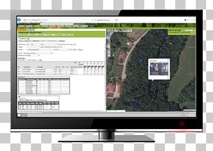
Geographic Information System
Text
Geography
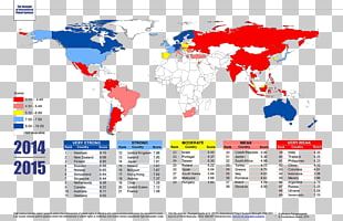
World
Brand
Travel World
Others
Miscellaneous
Logo
World Map
Circle
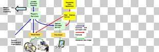
Diagram
Angle
Information
Globe
Symbol
Technology
Computer Software
Geographic Data And Information
Tree
Earth
Green