categories
background remover
login
create account
Sign Up
Login
Background Remover
Image Editor
Categories
Colors
Help / FAQ
Save
This PNG image was uploaded on April 20, 2017, 7:36 am by user:
velislava98
and is about
arcgis
,
border
,
continent
,
geoserver
,
library
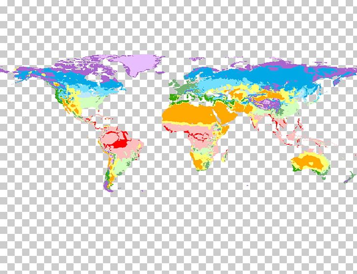
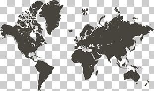
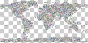
. It has a resolution of 799x619 pixels.
Arcgis
Border
Continent
Geoserver
Library
Map
Map Projection
Mercator Projection
Miscellaneous
Physische Karte
Robinson Projection
Shapefile
Vector Map
World
World Map
Free Download
(34.88 KB)
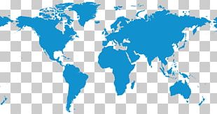
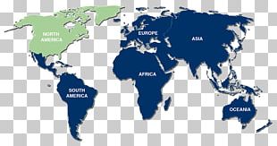
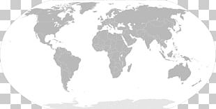
World Map Shapefile Map Projection PNG
Edit PNG
AI Background Remover
799x619
34.88 KB
April 20, 2017
PNG (300 DPI)
velislava98
Send Message
You might also like...
Most recently uploaded images...
Forgot your password? No problem...
After clicking the Request New Password button, you will be redirected to the frontpage. You will then receive an email with further instructions.
Request New Password
Sign up and start downloading in seconds... totally FREE
Sign up with Google
or use the form below
By clicking the "Sign Up" button you confirm that you agree with our
Terms of Service
,
Privacy Policy
and our
Notification Settings
.
Sign Up
Already have an account?
Log In
Log back into your account...
Login with Google
or
Login
No account yet?
Sign Up
Forgot your password?