Save
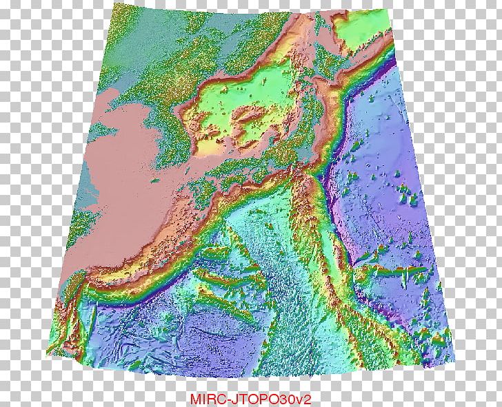
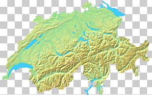
This PNG image was uploaded on May 18, 2018, 1:42 am by user: jhonsagon and is about plan, seabed, topographic map. It has a resolution of 669x595 pixels.
Topographic Map Seabed Bird's-eye View Plan PNG
You might also like...