categories
background remover
login
create account
Sign Up
Login
Background Remover
Image Editor
Categories
Colors
Help / FAQ
Save
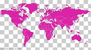
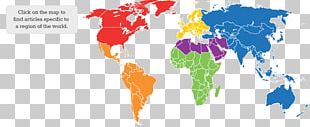
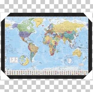
This PNG image was uploaded on March 8, 2017, 1:51 am by user:
sdfasfdfv
and is about
administrative division
,
atlas
,
blue
,
early world maps
,
globe
. It has a resolution of 850x402 pixels.
Administrative Division
Atlas
Blue
Early World Maps
Globe
Map
Map Collection
Royaltyfree
Sky
World
World Map
Free Download
(121.09 KB)
Early World Maps Graphics PNG
Edit PNG
AI Background Remover
850x402
121.09 KB
March 8, 2017
PNG (300 DPI)
sdfasfdfv
Send Message
You might also like...
Most recently uploaded images...
Forgot your password? No problem...
After clicking the Request New Password button, you will be redirected to the frontpage. You will then receive an email with further instructions.
Request New Password
Sign up and start downloading in seconds... totally FREE
Sign up with your social network
Google
Facebook
Twitter
or use the form below
By clicking the "Sign Up" button you confirm that you agree with our
Terms of Service
,
Privacy Policy
and our
Notification Settings
.
Sign Up
Already have an account?
Log In
Log back into your account...
Login with your social network
Google
Facebook
Twitter
or
Login
No account yet?
Sign Up
Forgot your password?